


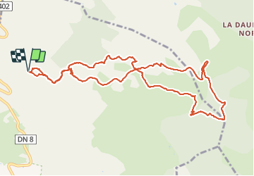


14,8 km | 19,6 km-effort

Benutzer


Kostenlosegpshiking-Anwendung
 SityTrail
IGN / Geografische Institute
SityTrail World
Die Welt öffnet sich für Sie
Tour Wandern von 12,7 km verfügbar auf Provence-Alpes-Côte d'Azur, Var, Le Beausset. Diese Tour wird von Daniel.BRUN-PICARD vorgeschlagen.
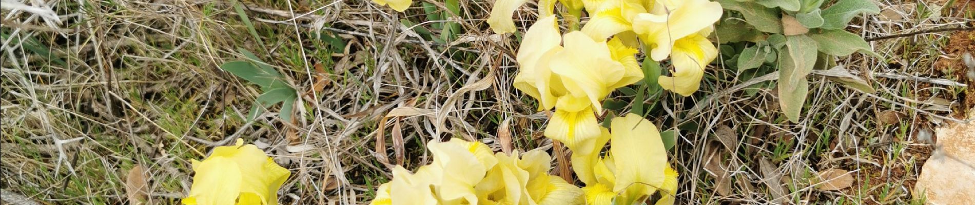
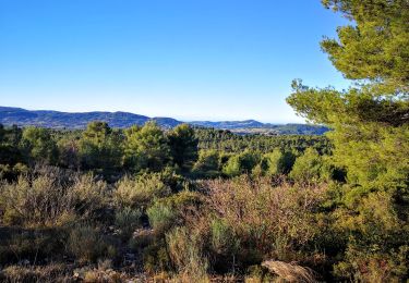
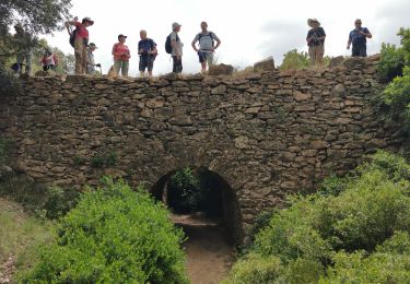
Belle randonnée sans difficulté à travers les vallons et la forêt. Merci aux accompagnateurs du Touring Club du Var qui on guidé le groupe tout au long de ce parcour.


Wandern

Wandern

Wandern
Wandern

Wandern

Wandern

Wandern

Wandern
Wandern